

India ranks #1 globally in road accident fatalities, with insights from Project iRASTE revealing
that poor infrastructure acts as a major catalyst for these incidents. To solve this national crisis and
build sustainable, future-ready smart cities, Project TRAIL
leverages cutting-edge AI-based computer vision and deep learning to automate the tracking of road conditions, mapping
all results onto a centralised, Web-based dashboard with precise GPS tracking.
To address India's incredibly diverse transit networks, Project TRAIL is split into two distinct,
specialised applications: TRAIL City which focuses on municipal and rural urban planning across 100 Tier-2 and Tier-3 locations,
and TRAIL Corridor which is engineered for high-speed highway surveillance. Together, these systems provide authorities and
contractors with the actionable visual intelligence needed to build safer, zero-fatality roadways.
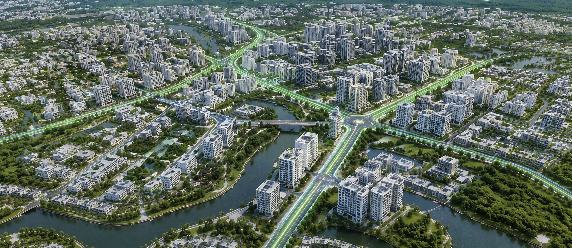
Uses AI-powered infrastructure mapping, compliance tracking, and precise GPS-based spatial intelligence across municipal and regional road networks in 100 Tier-2 and Tier-3 Indian cities. Enables authorities to optimise maintenance budgets, improve road safety, and make informed decisions for sustainable urban development and future expansion.
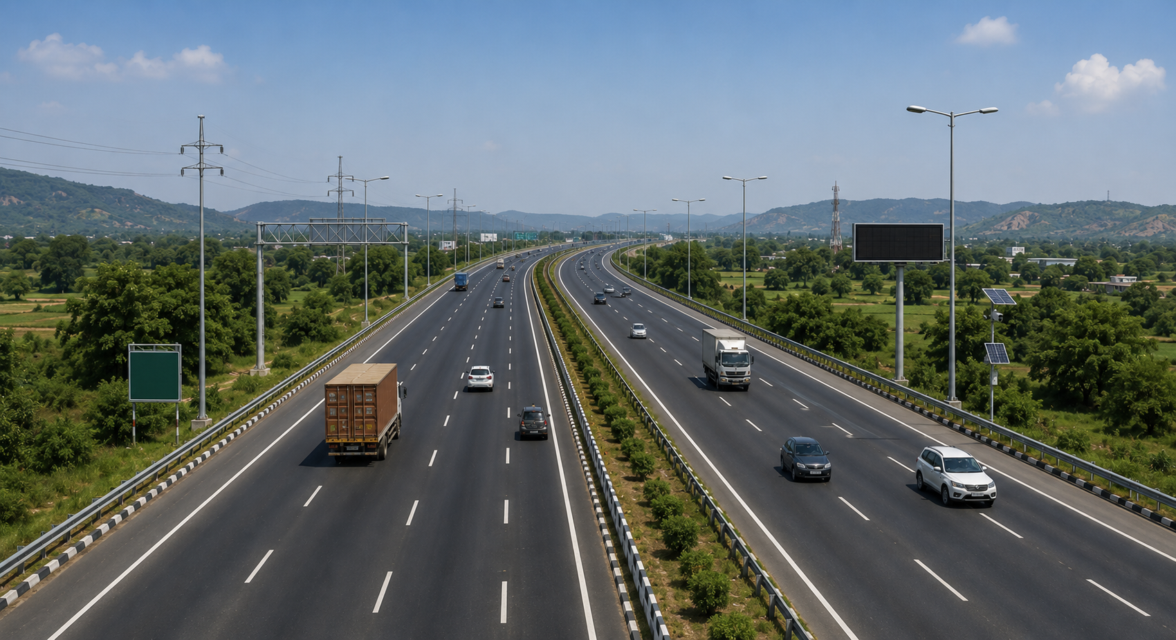
Provides continuous AI-powered monitoring of national highways, state highways, and expressways to maintain safety, visibility, and infrastructure standards. By assessing conditions and mapping safety assets on a GPS-enabled dashboard, it enables highway authorities to proactively manage high-speed networks, optimise maintenance efforts, and reduce potential safety risks.
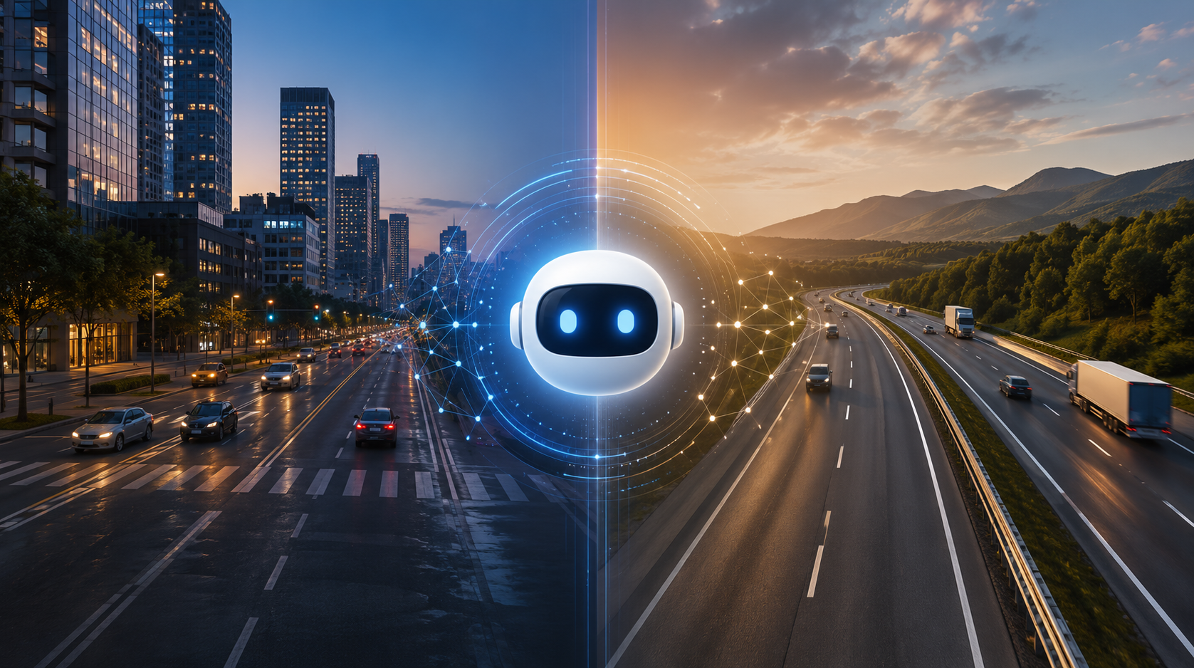
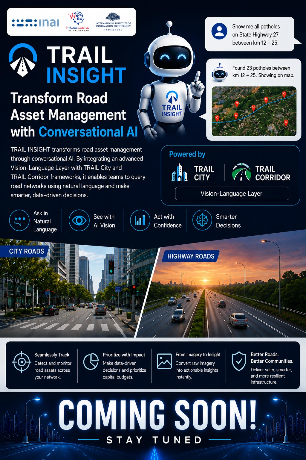
Transforms Road asset management through conversational AI. By integrating an advanced Vision-Language Layer with TRAIL City and TRAIL Corridor frameworks, it enables teams to query road networks using natural language. Seamlessly track potholes and other Road assets, prioritize capital budgets, and convert raw imagery into immediate civic improvements.
Pillars powering India's most advanced road-intelligence platform.
From raw road footage to actionable civic intelligence — in three precise stages.
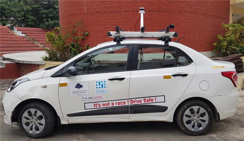
One of the key capture resources is IIITH's own Bodhyaan platform. This vehicle has been widely used for video capture across multiple projects including Project TRAIL. In addition, we are developing a Mobile phone-based App as a low-cost option for capturing and uploading data to our cloud.
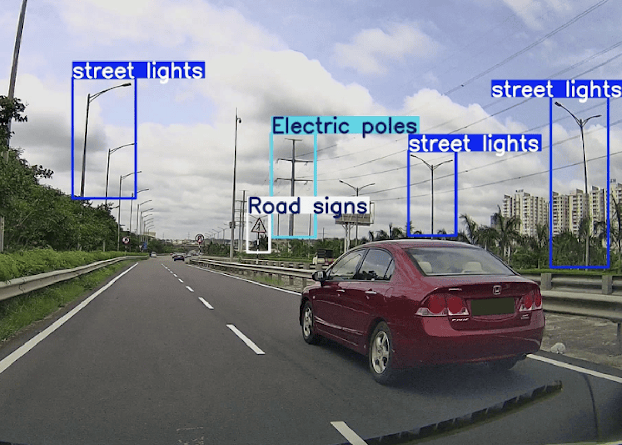
IIITH CVIT, in collaboration with INAI/iHub, develops AI-driven perception models for mobility infrastructure analysis. Our deep learning pipeline processes road footage to detect and classify assets like street lights, poles, signages, and variable signboards — with real-time inference capabilities.
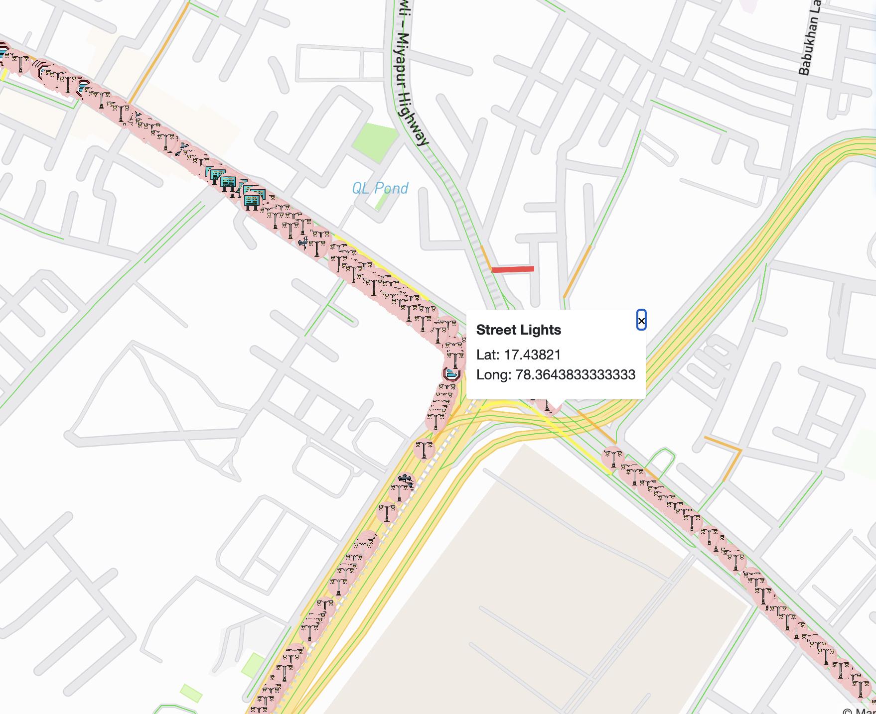
As the output of AI Modelling, a visual dashboard has been created to map and track all Road Assets for each city. This information is essential for Infrastructure Agencies to understand, monitor, and take remedial actions to continuously improve Road Infrastructure across India.