


TRAIL City focuses on municipal and regional road networks to foster the development of environmentally friendly,
affordable, and smart urban ecosystems. This module is dedicated to gathering comprehensive road infrastructure
data across 100 Tier-2 and Tier-3 cities in India, spanning both dense urban centres and rural extensions.
By utilising advanced AI modelling techniques, TRAIL City maps localised infrastructure networks and tracks compliance.
The collected data is seamlessly integrated into a Web-based dashboard with exact GPS locations.
This empowers local municipalities and civic authorities with the precise spatial intelligence needed to optimise maintenance budgets,
improve daily traffic safety, and plan future city expansions effectively.
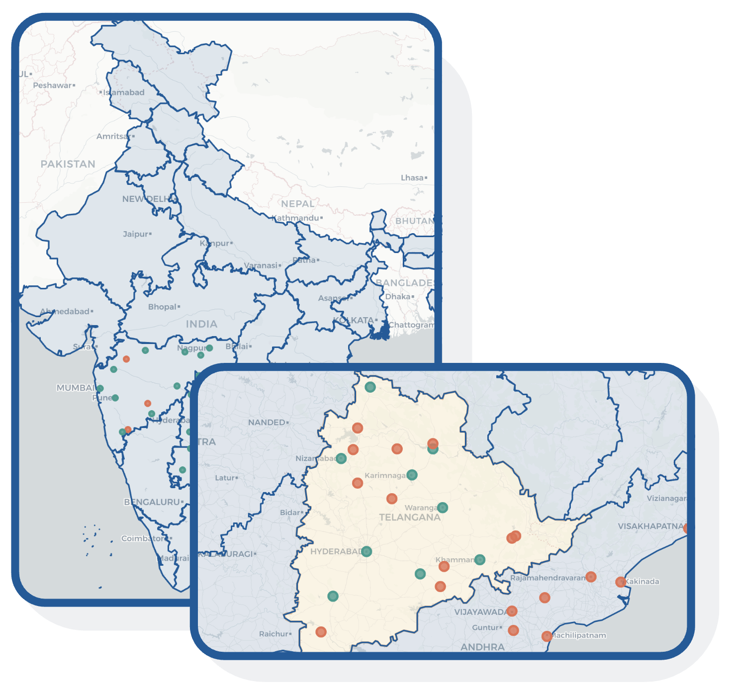
Our AI models identify, categorize, and accurately plot the following assets onto our live GPS dashboard to provide a complete picture of the urban road network.