


TRAIL Corridor is engineered specifically for high-speed transit networks like national highways, state highways, and expressways.
Because higher speeds demand pristine road conditions, this module provides continuous, automated monitoring of major transit
corridors to ensure compliance with global safety, visibility, and maintenance standards.
The underlying AI models are trained to instantly monitor transit pathways and evaluate overall infrastructure integrity.
By mapping current corridor conditions and safety assets onto a GPS-enabled dashboard, TRAIL Corridor provides highway
authorities with the data needed to proactively manage high-speed networks and mitigate safety risks before accidents occur.
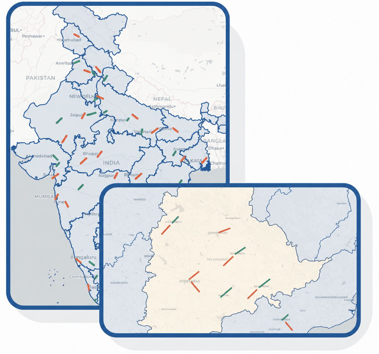
Our AI models provide continuous, automated monitoring of highway corridors by accurately categorizing and plotting the following infrastructure and safety conditions.